
At the western most coast of the British Isle, there is St. David’s, Wales, and it is stunning.
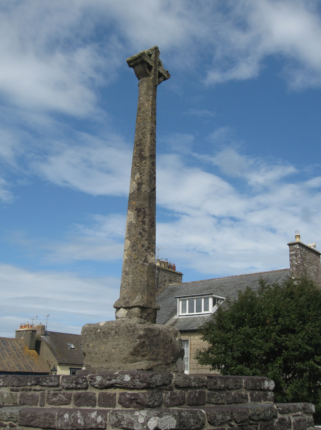
A fourteenth century cross in the center of St. David’s. Photo by me
We came in after driving for hours behind a “wide load” vehicle through the countryside. It was a slow, agonizing trip.
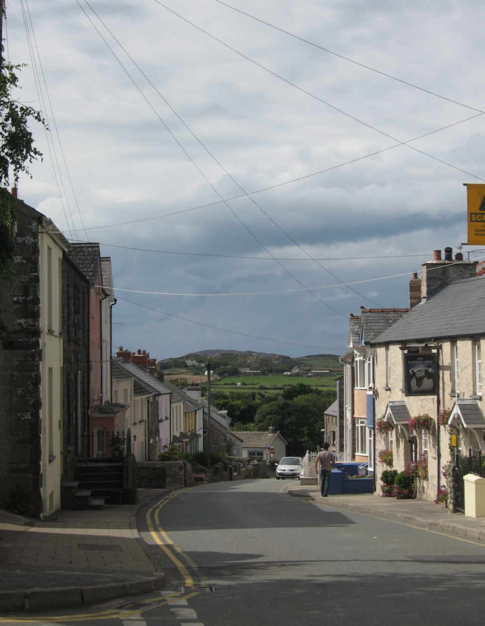
The town of St. David’s slopes down towards the sea. Photo by me
But at the end was the small coastal town of St. David’s.
St David’s. Photo by me.
Near the cathedral in the center of the “city”. Photo by me
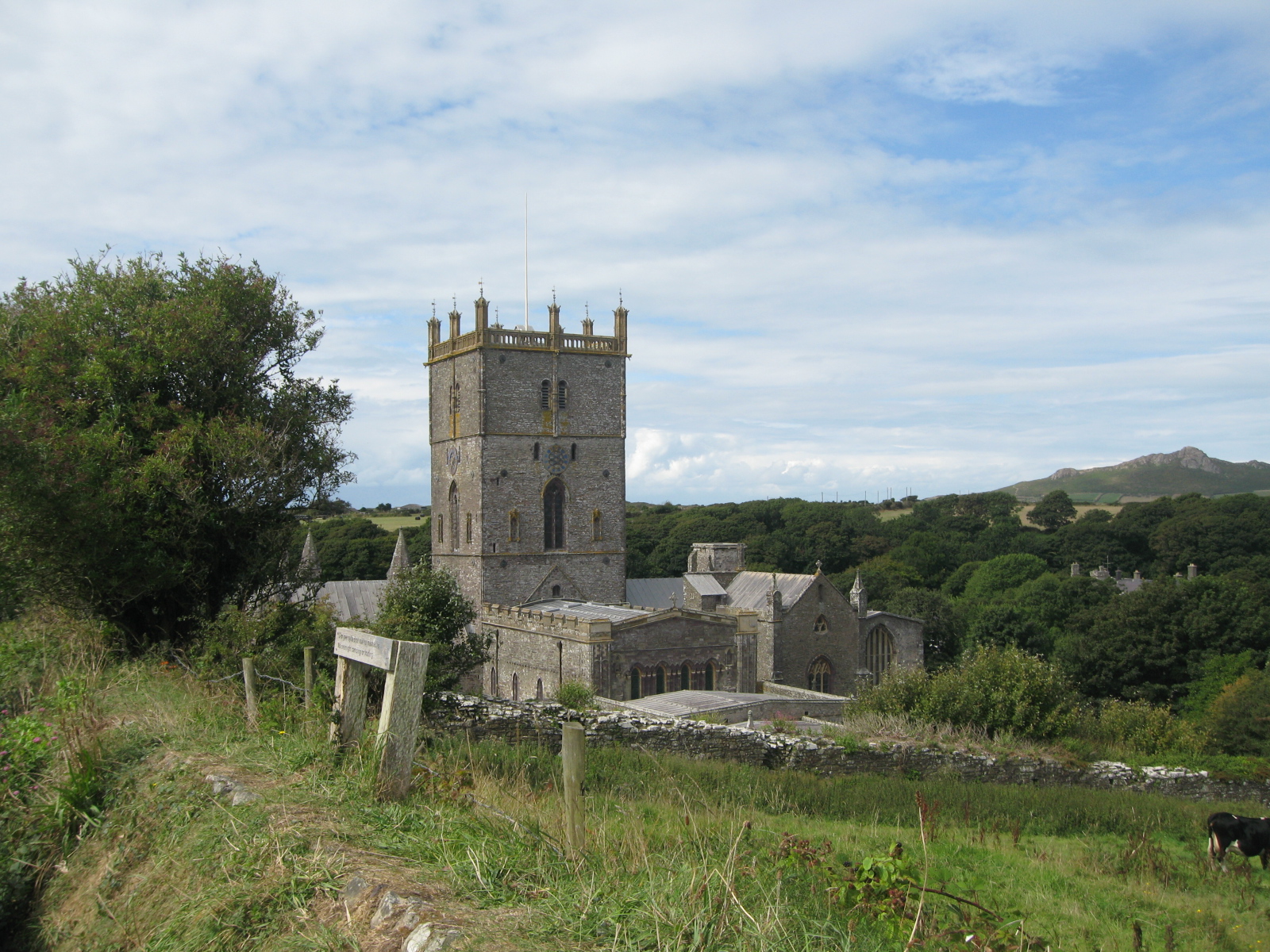
The town in Pembrokeshire, Wales, is billed as the smallest city in Great Britain, both in size and population. It is also the final resting place of Saint David, the country’s patron saint. The village of St. David’s was given city status in the 16th century due to the presence of St David’s Cathedral but lost the recognition in 1888. City status was restored in 1994 at the request of Queen Elizabeth.
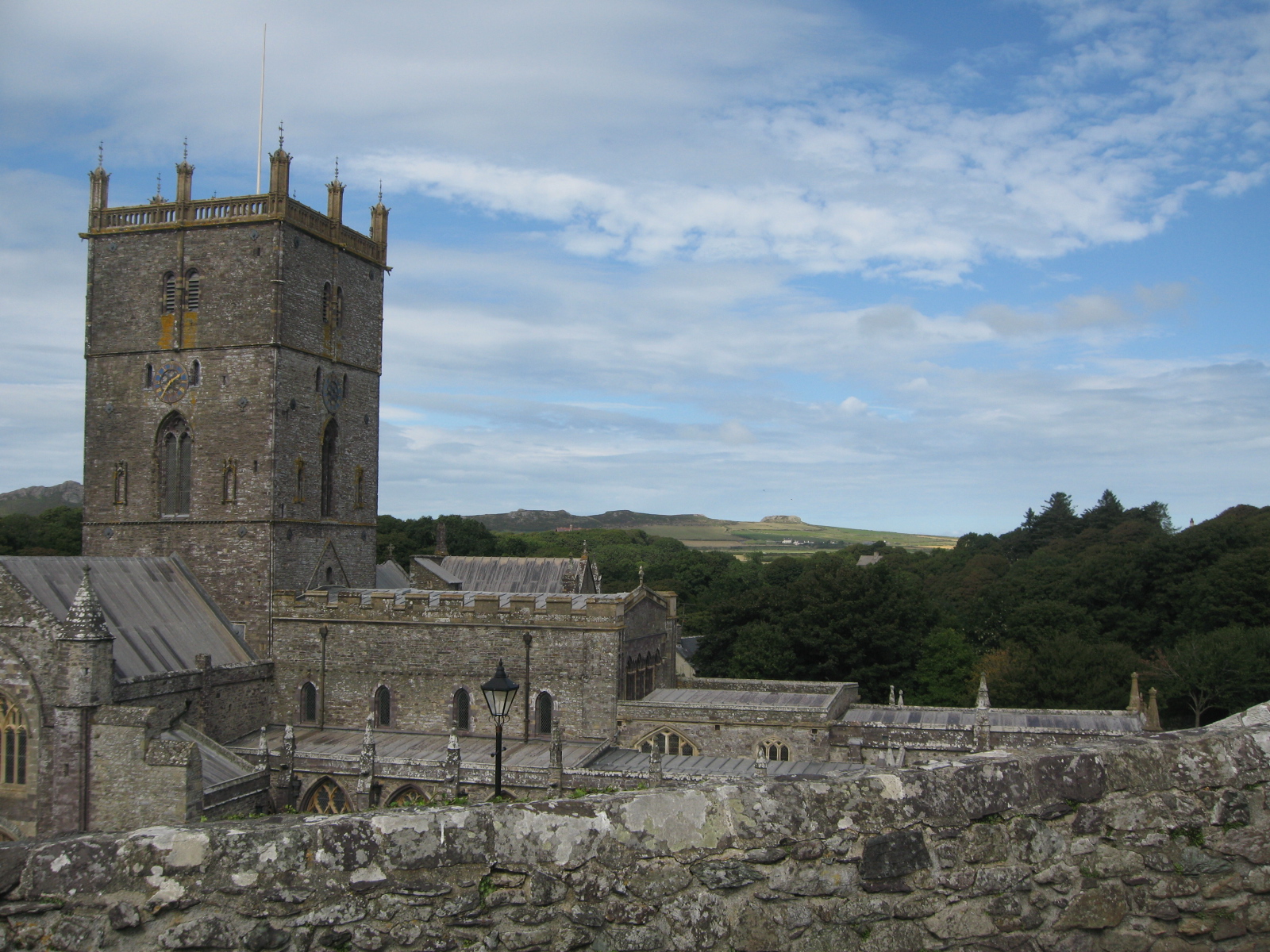
St David’s Cathedral. Photo by me
St. David’s is a unique area. It is very Welsh. You see the signs in the Welsh language everywhere, and the food has local favorites like Welsh Cakes. There is also fabulous seafood to be had. The nearby fishing village of Solva provides an endless supply.
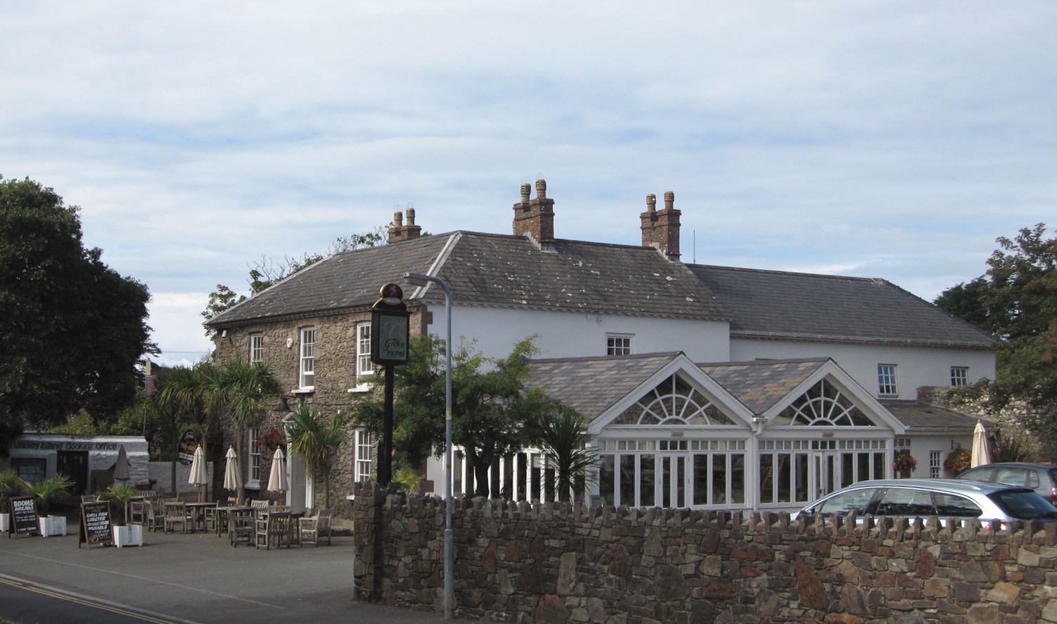
The Grove, our “restaurant with rooms” and home away from home. Photo by me
And on the edge of town is a great visitors center with a beautiful art gallery.
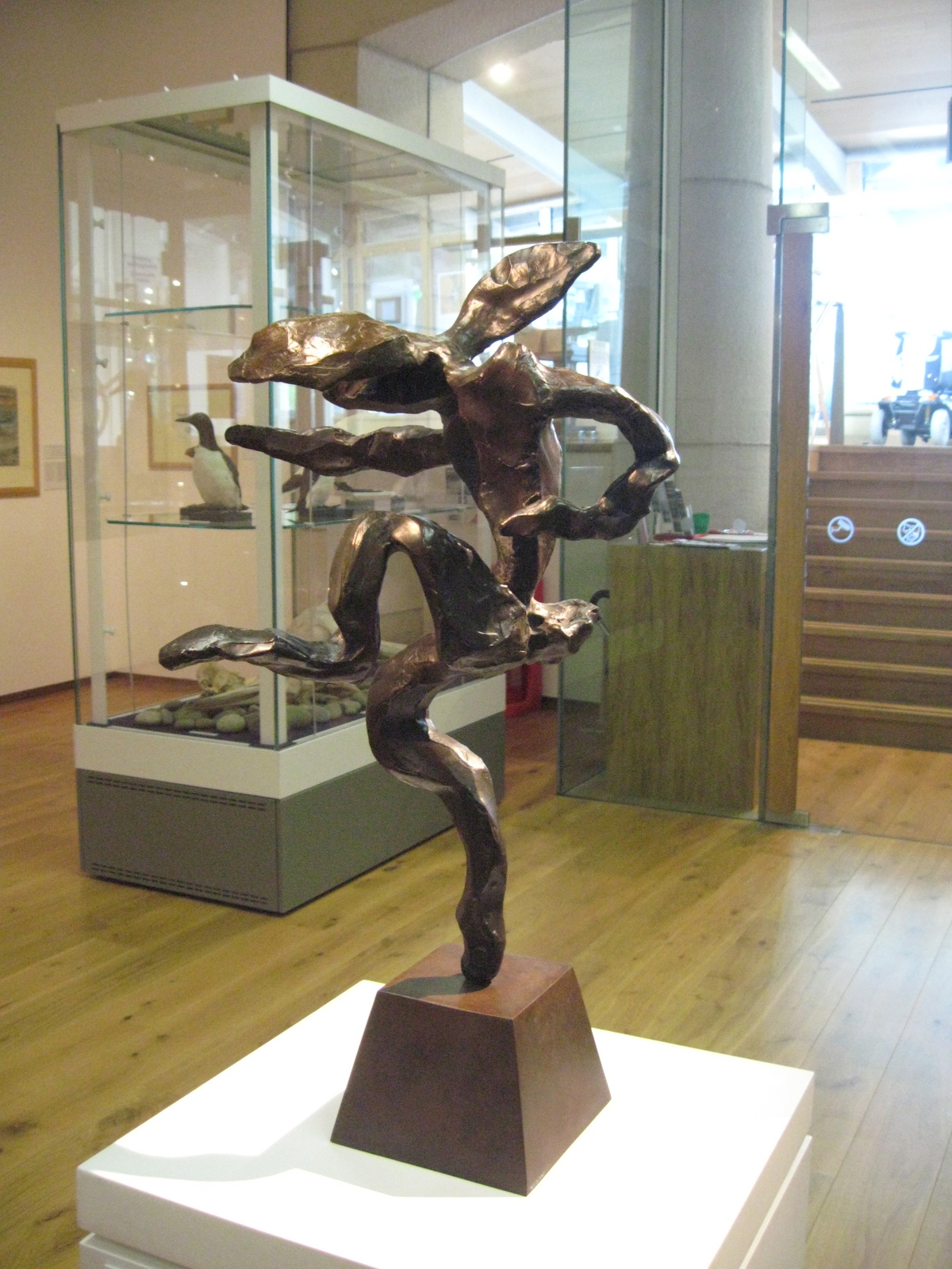
“Small Nijinsky Hare”, Barry Flanagan. Photo by me.
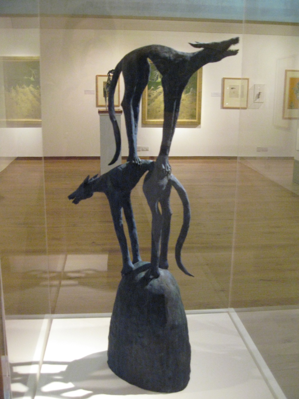
Cwn Gwylt, Bay Catrin Howell. Sculpture of wild dogs is Howell’s response to the legend of the sunken kingdom believed to lie between Ramsey and Bardsey islands. Photo by me.
It was time to see the famous Wales’ coastline.
Just outside “the city”. Photo by me.
Late afternoon and before the predicted rains, I decided to take a walk down the side road to the Pembrokeshire Coast Path and Caerfai Bay.
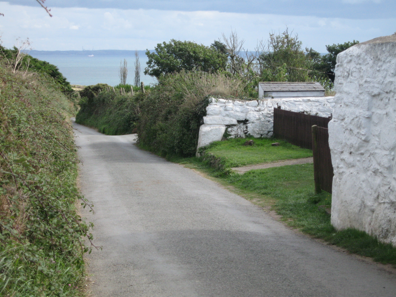
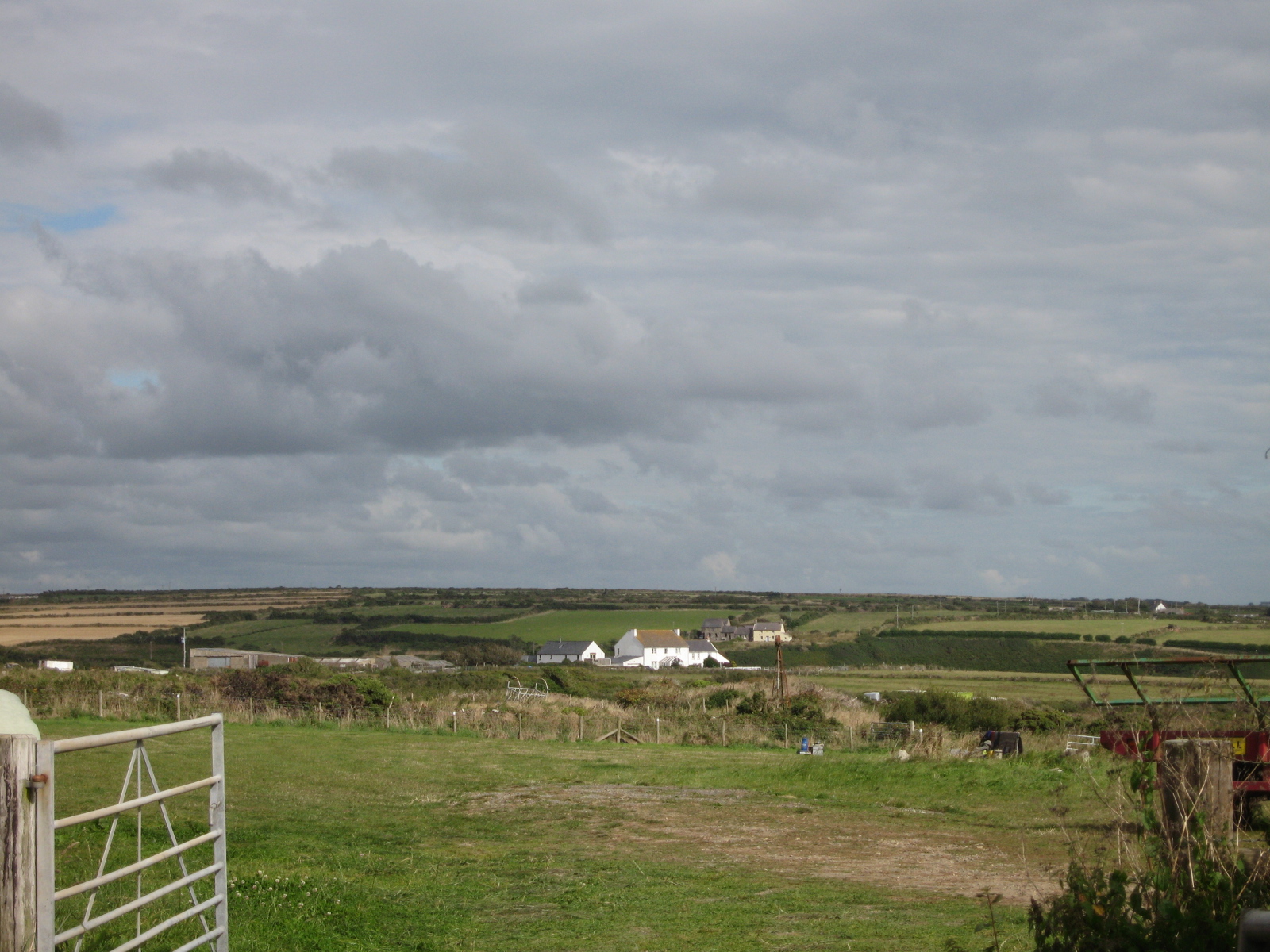
Small cottages, campgrounds and farms line the road down to the sea. Photo by me.
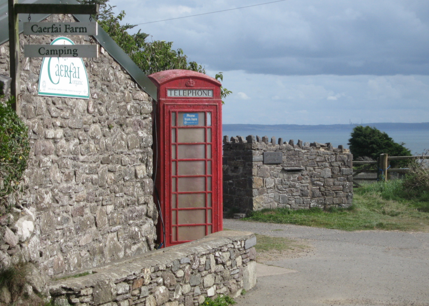
And organic farm and campground. Photo by me.

Camping in Wales. Photo by me.
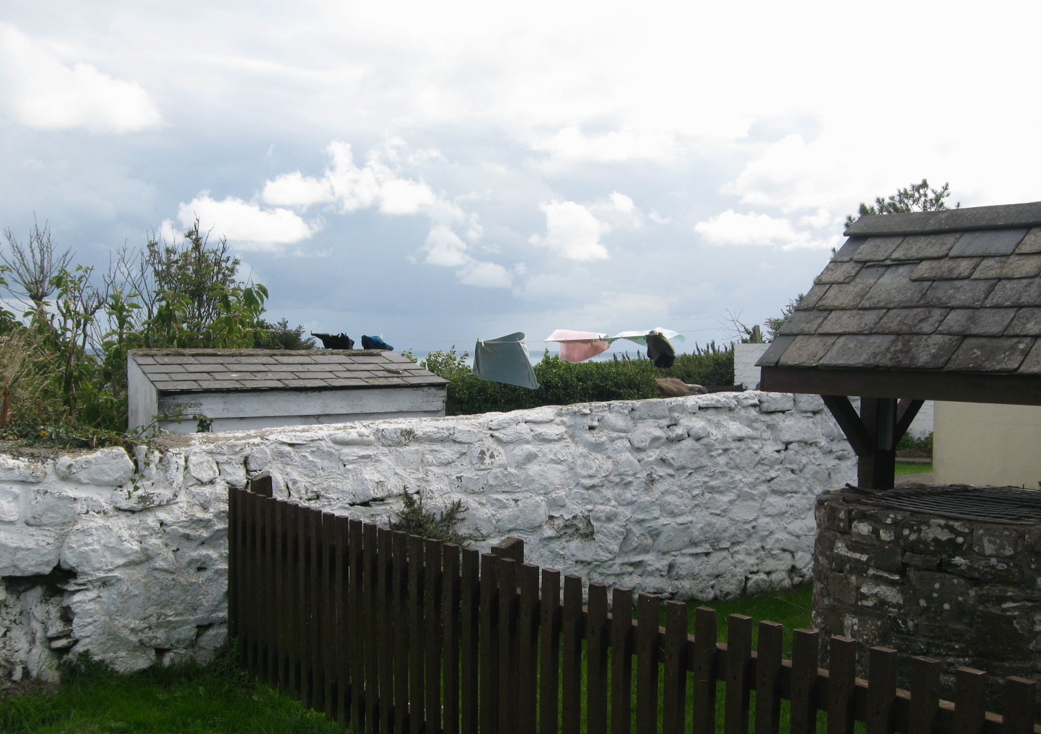
Laundry day. Photo by me.
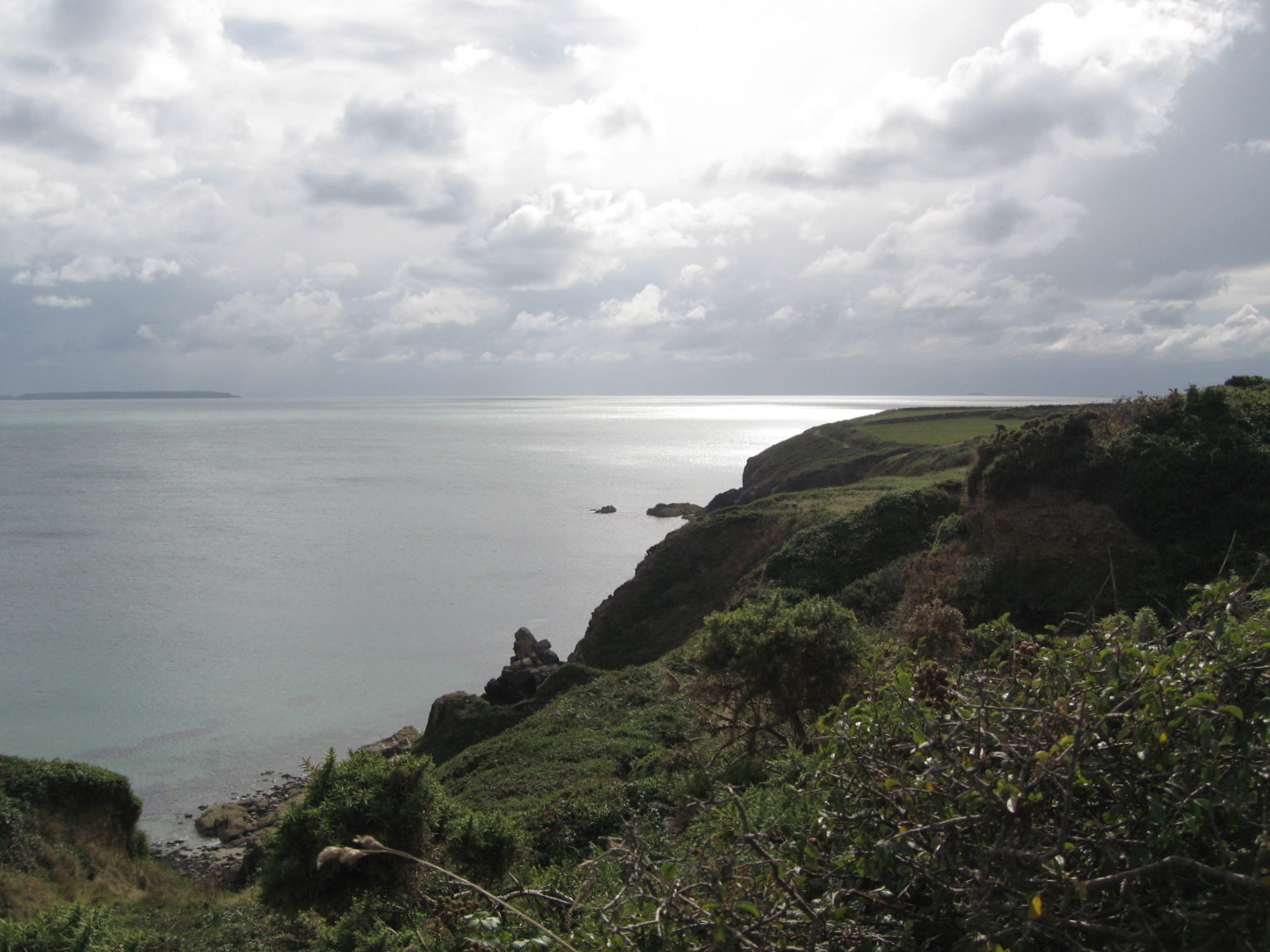
From the Coastal Path as the rain approaches. Photo by me.
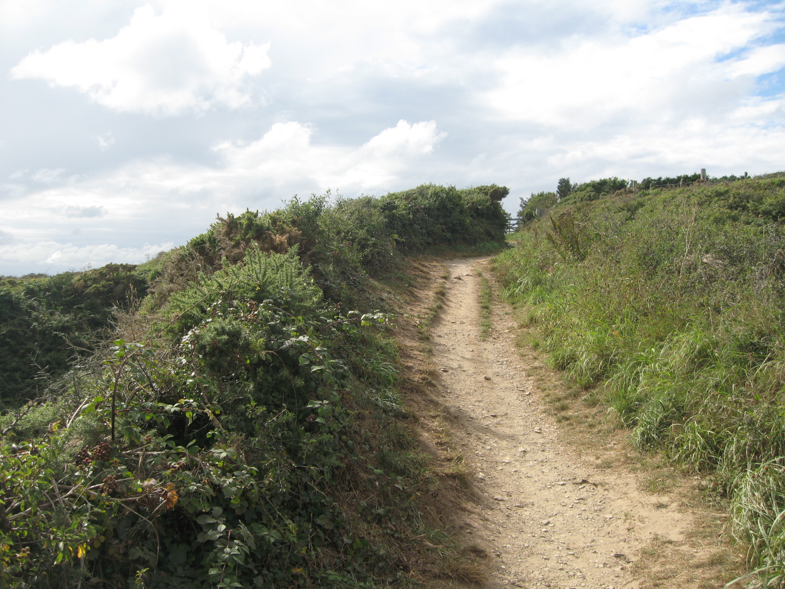
The well-travelled coastal path. Photo by me
The Irish Sea is treacherous and notorious for very strong tides and large numbers of offshore rocks. And it brings in lots of rain.
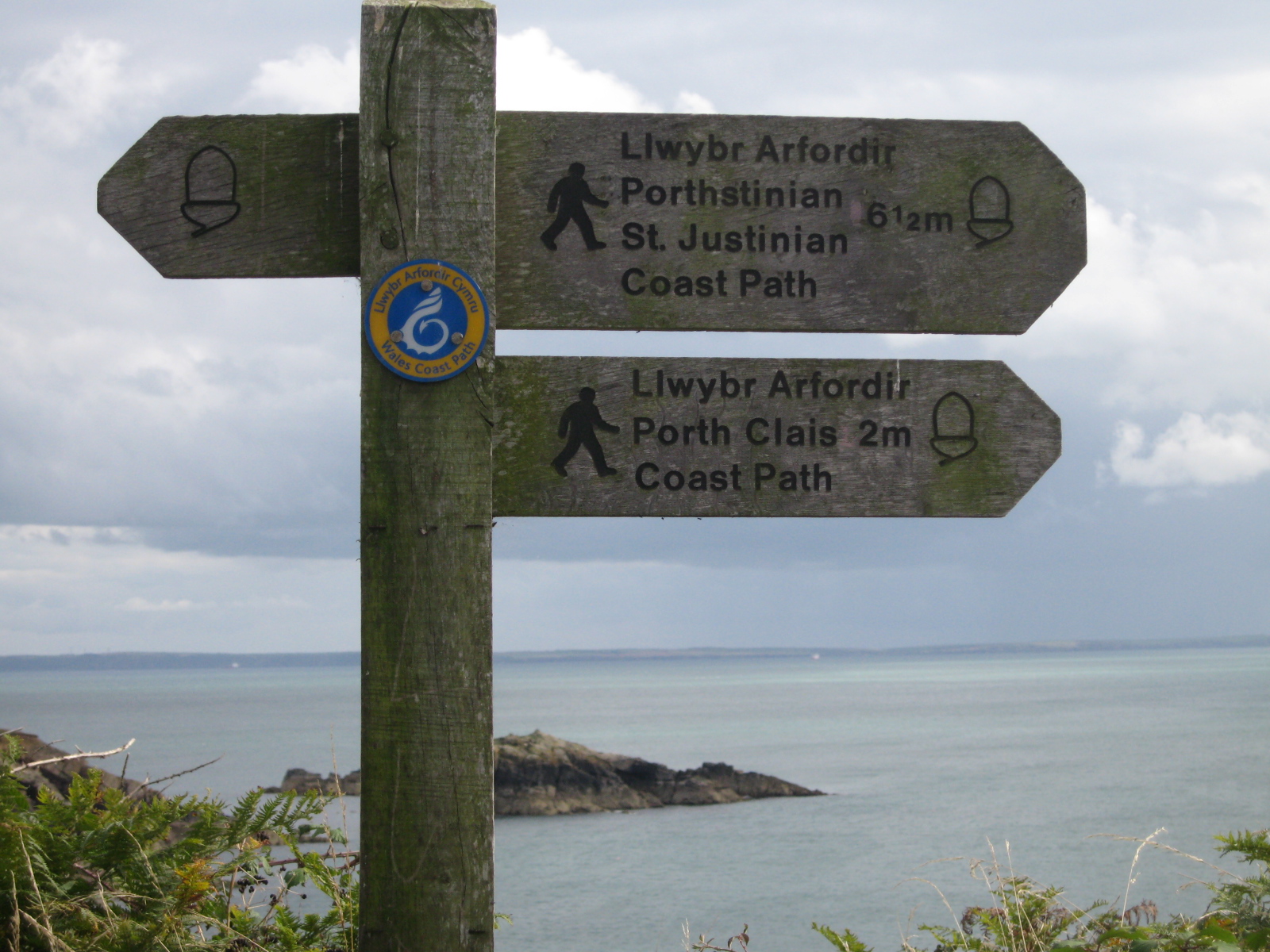
All those consonant and very few vowels…Welsh. Photo by me
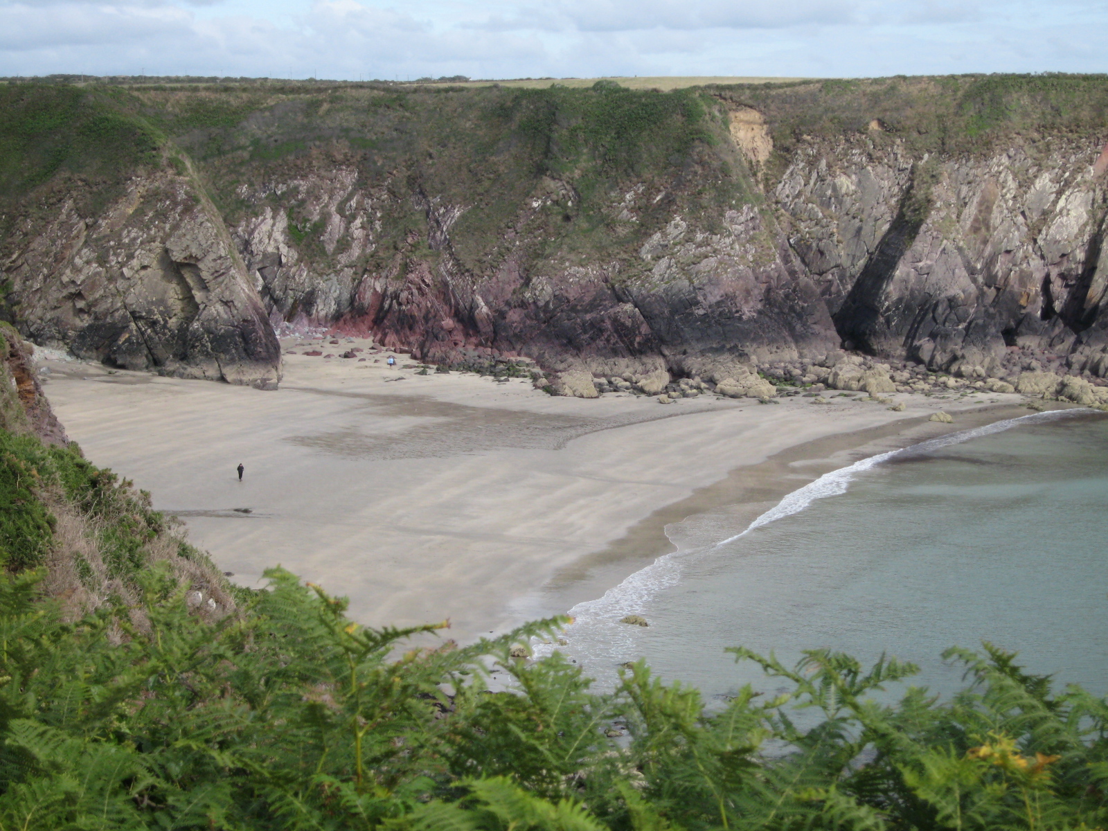
A hidden beach with cliffs of distinctive red sandstone. Photo by me
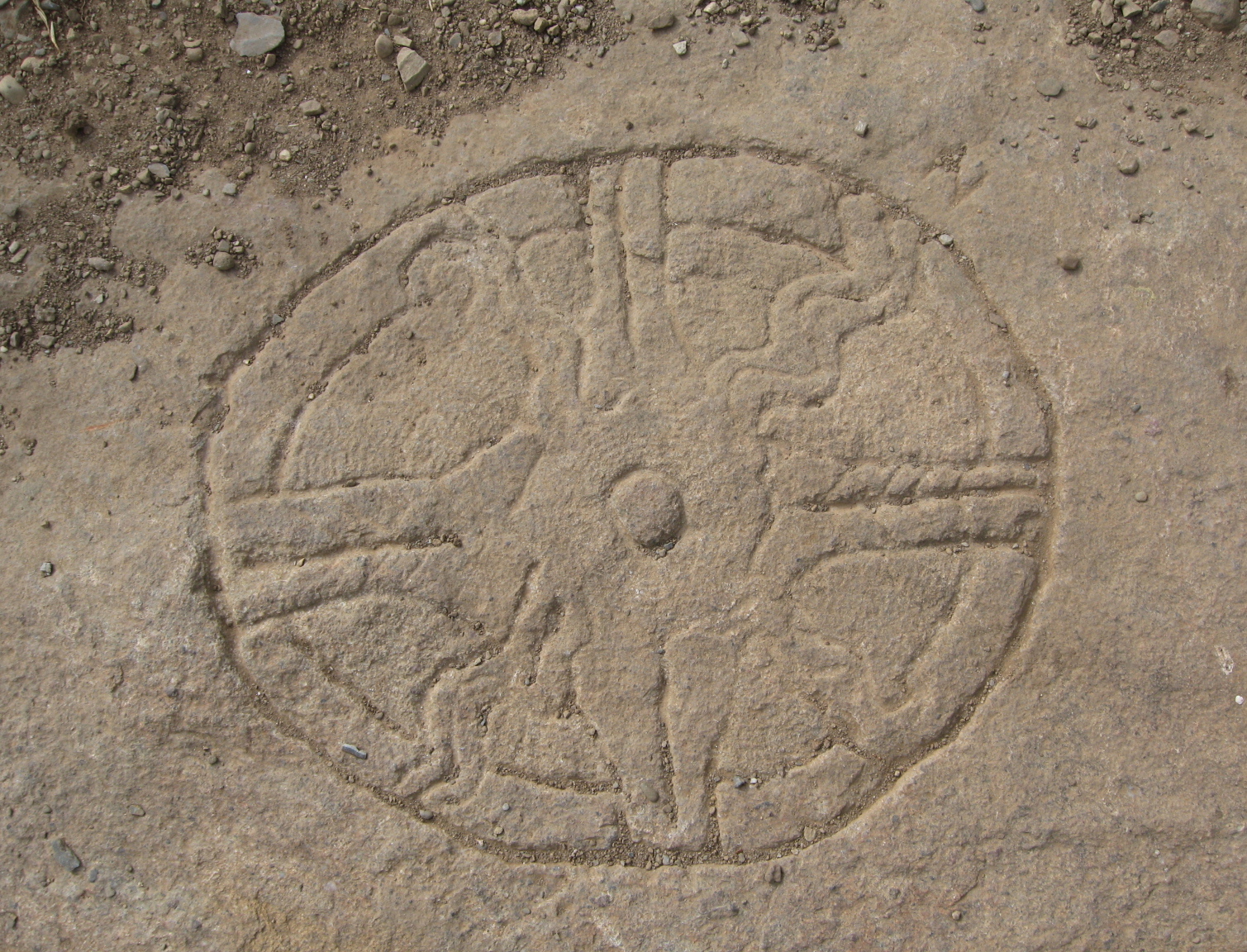
Carved in the stone on the side of the path. There were symbols etched all over the area. I have no idea by who. Photo by me
The whole area has a rather “new-age” vibe, with surfers, druids and artists all in the mix. There are a number of interesting archaeological sites along the coast such as burial chambers, Stone Age hut circles and Iron Age field systems. It is also said this was the site where St. Patrick stood when he had the vision to travel to Ireland to convert the Irish to Christianity.
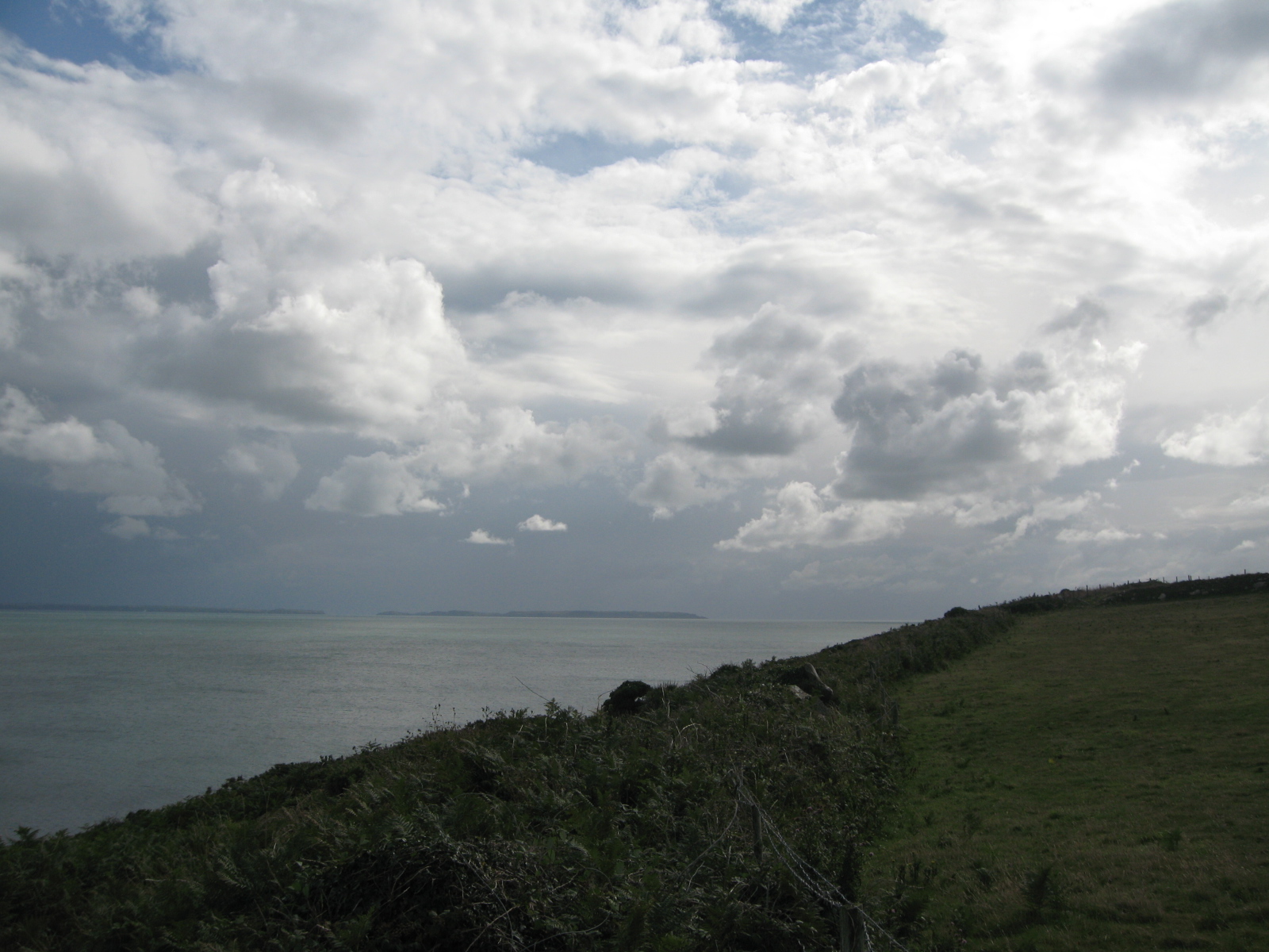
Looking out towards Ireland. Photo by me
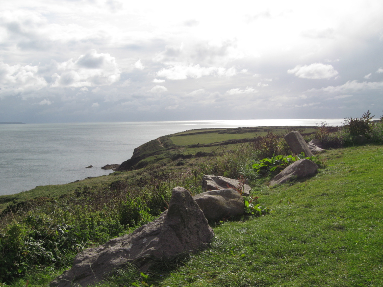
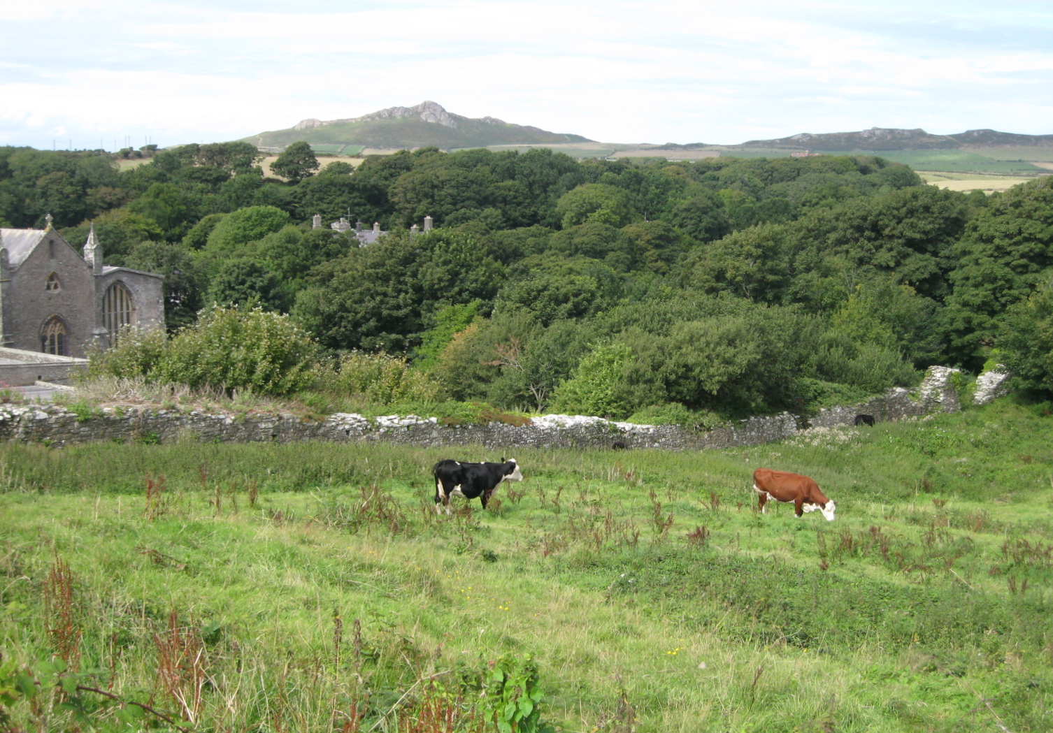
Many dairy and sheep farms lined the coast. Photo by me
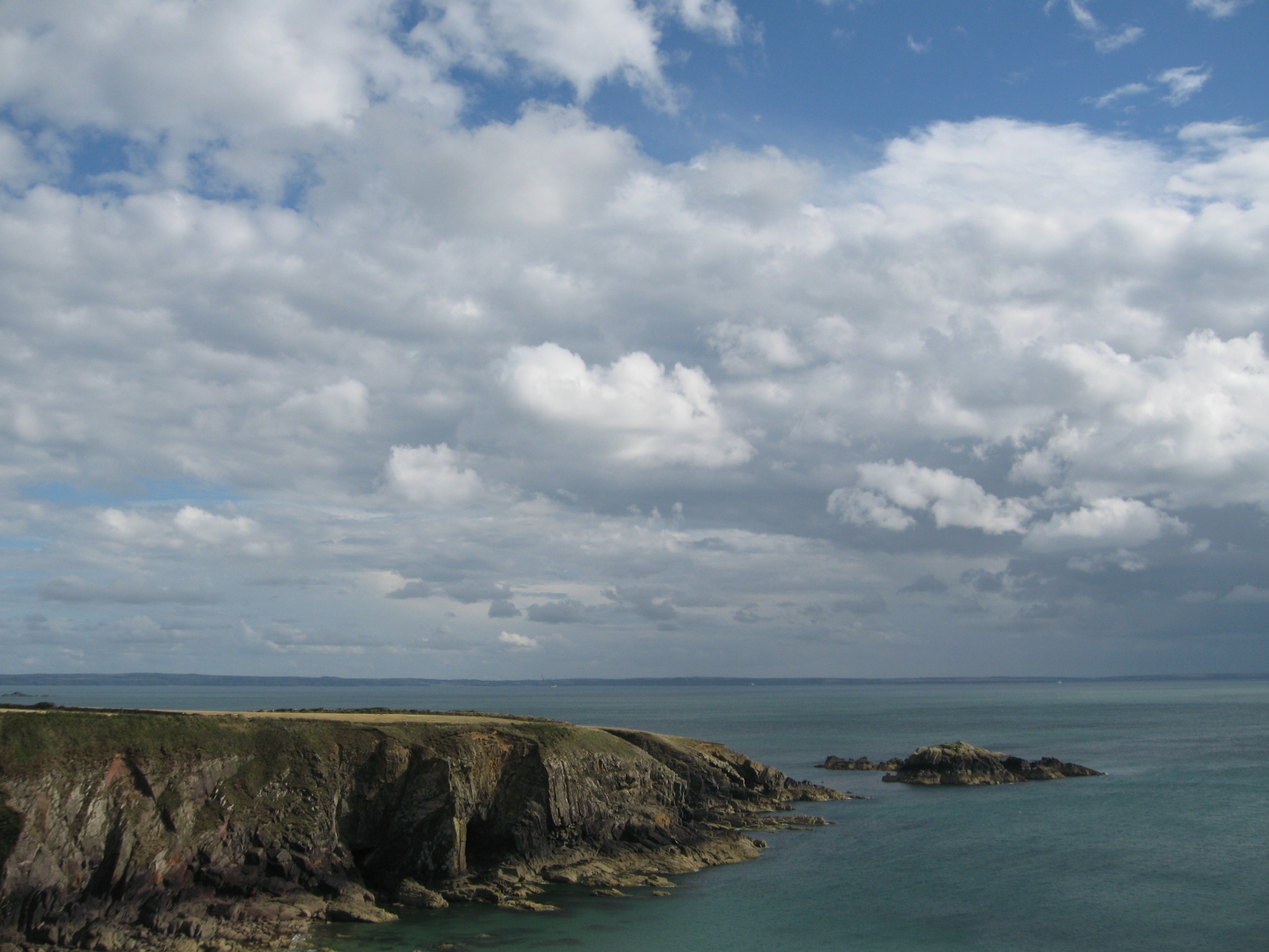
Photo by me
This walk along this lonely cliff was one of the highlights of my summer. I felt like I was on the ends of the earth.